
I'm beginning to realize that there is only so much you can fit on a 32"x48" board. I was hoping to start right away with T-TRAK modules, but I thought a small board with a continuous run on it might be a nice experiment to start with. So I'm really interested in a make-believe trolley/tram route through a southwest portion of Rochester, Minnesota.
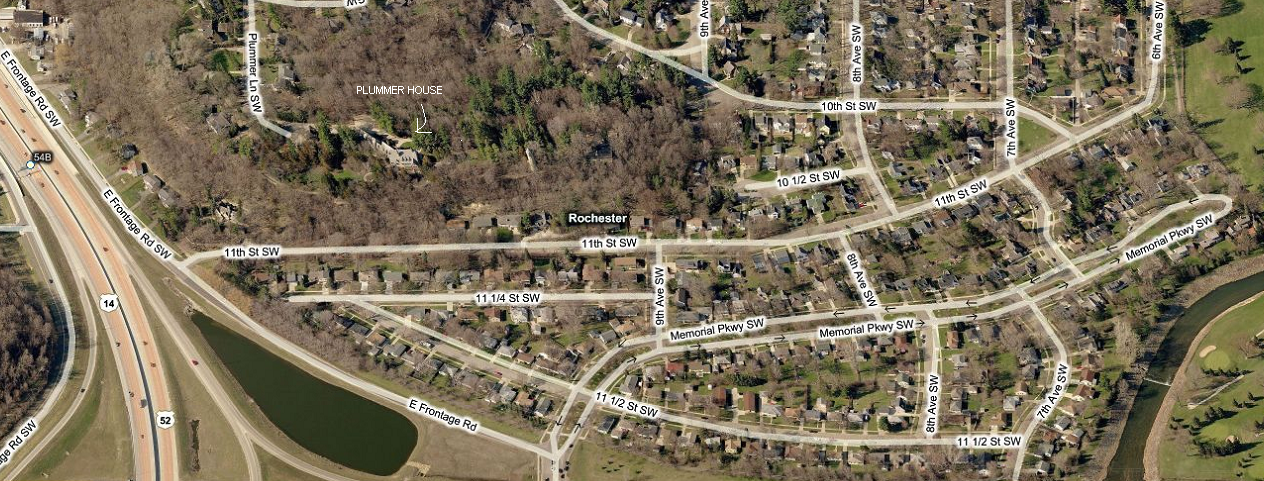
The yellow shows the where the trolley/tram line would be in real life...if it really existed:

Here my current the any-rail layout plan (32"x48"). The blue line approximates the yellow line in the image above.


So, based on the pieces needed, I then needed to look at the different sets that Tomix offers its Wide Tram Track with (the pieces are not really available individually, you need to get them in sets with different combinations of pieces in them). I created a Google Documents spreadsheet. On the right are 3 columns...the total individual pieces based on the total quantity of sets I would buy, the total individual pieces I need for the layout, and the last column tells me if I have enough of a given type. If it is a negative number in the last column, I have more than enough. That way I can tinker with different "Total QTY Needed" amounts to see if I can satisfy the last column and spend the least amount of money.


