
I've been playing around layout software and have decided for the time being make a 48"x32" layout for now. Here are the images of where I currently am at.
Here's an aerial view of the location to be modeled:
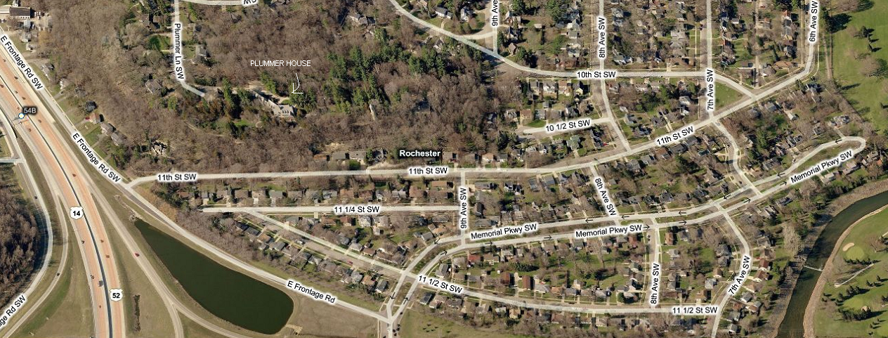
The blue lines is where the imaginary tram lines
would go. The dotted line is a tunnel underneath Pill Hill.

Using AnyRail software, the blue (Tomix Wide Tram Track) is the tram line
that attempts to follow the imaginary lines I put in the maps above...

Here's another view, but with Pill Hill showing
where the tunnel would be.

No comments:
Post a Comment